killeroy154
Survivalist
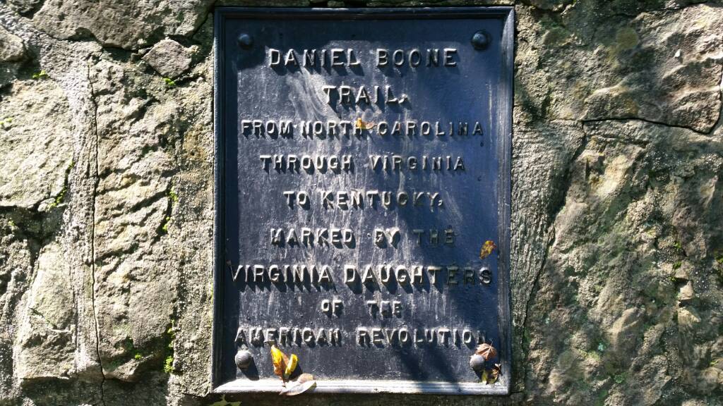
Took a hike yesterday where the hwy used to cut through a mountain. We have driven through this gap in the mountain several times traveling between Michigan and Tennessee. Now there is a tunnel that cuts through the mountain. This is also part of the Daniel Boone wilderness trail, and a strategic area during the Civil war.
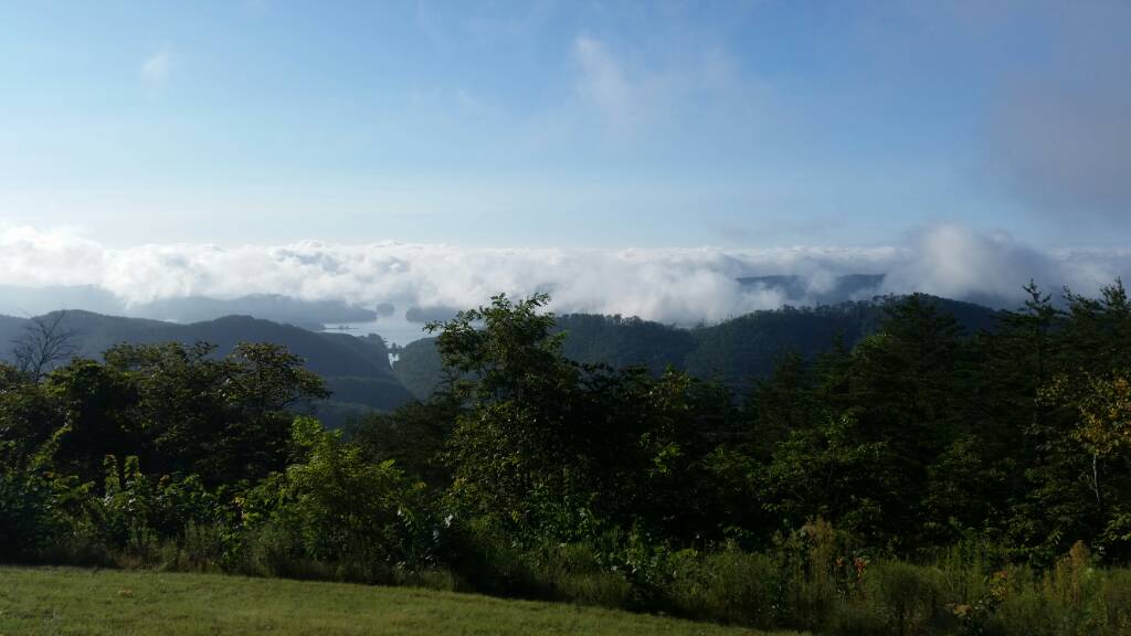
This was on the drive over Clinch mountain looking back on my home town lake as we headed north toward Cumberland Gap.
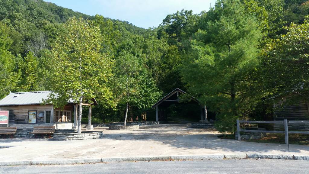
We started our hike through this covered entrance.
This was the old hwy 25E that inspired the movie Thunder Road about running moon shine north from east tn., and also the road I mentioned we used to drive to Tennessee on.
One of the locals.
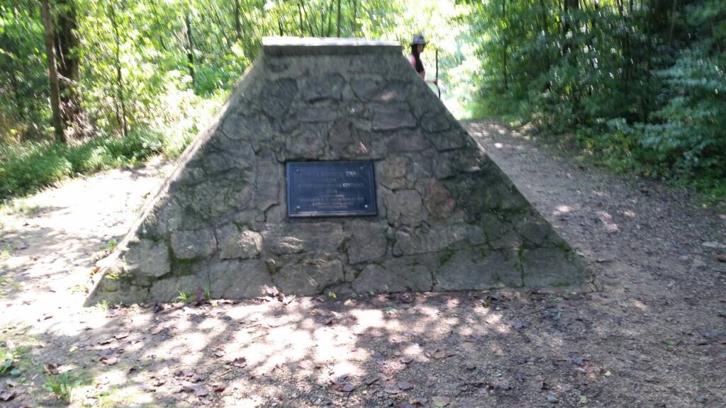
Tri state monument Virginia, Tennessee and Kentucky borders.
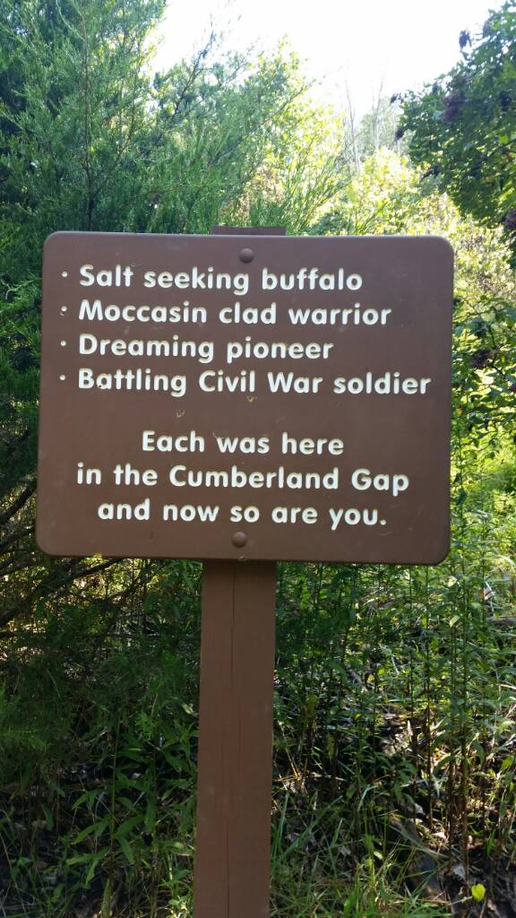
The Gap by the monument.
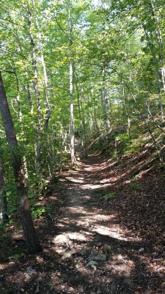
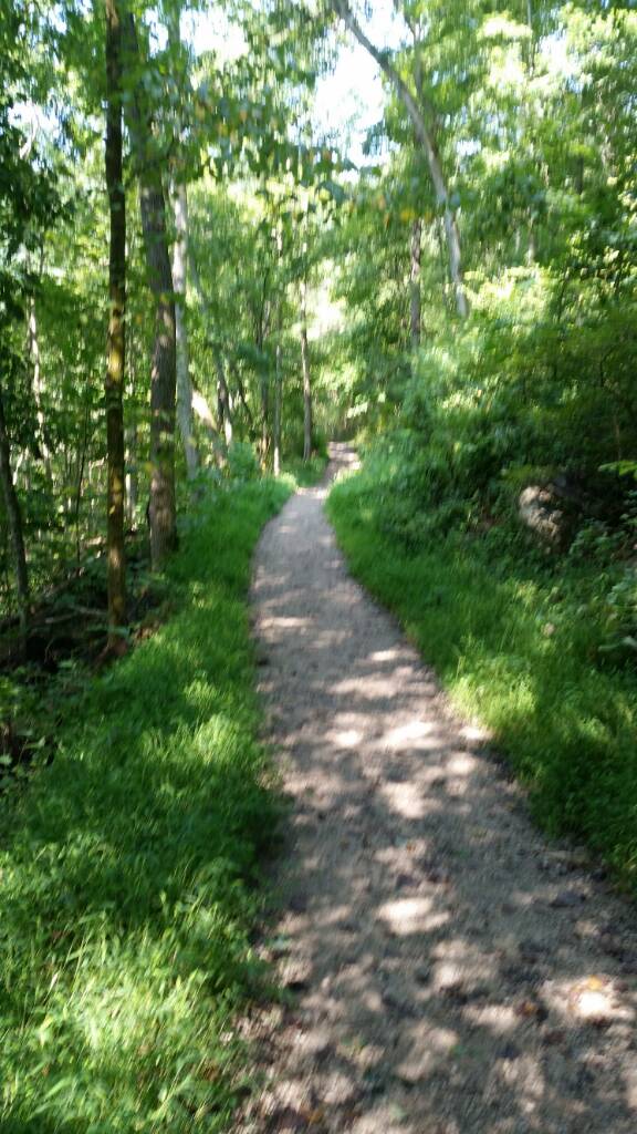
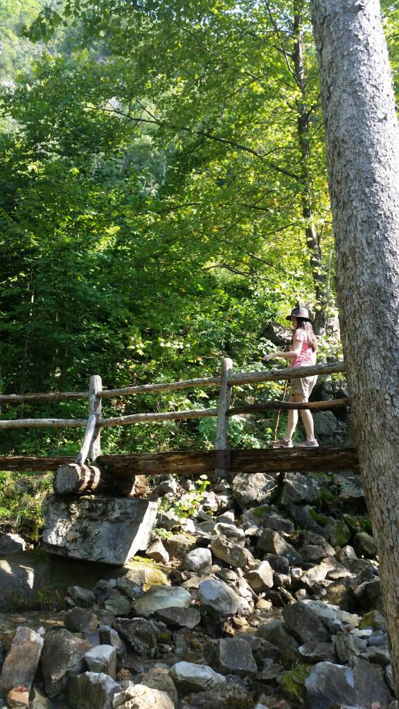
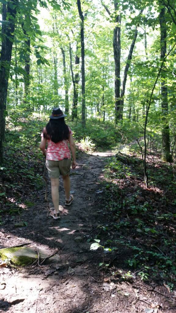
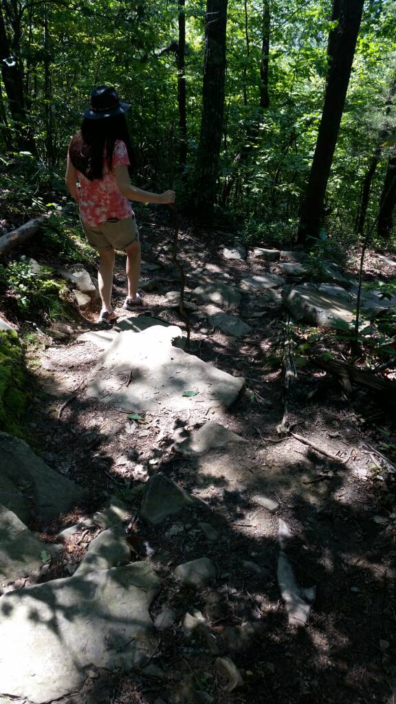
The trail got more interesting.
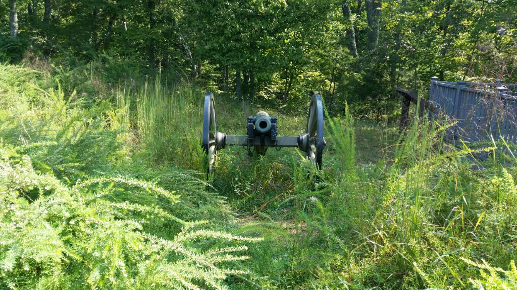
Site of Fort McCook.
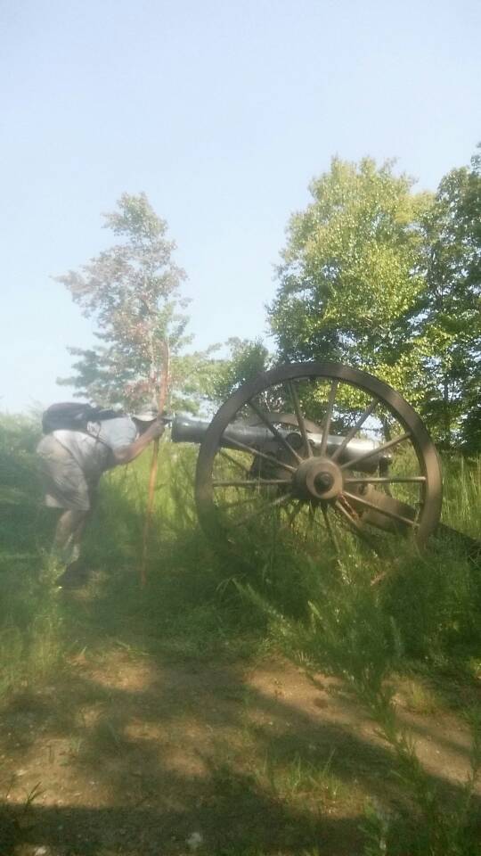
Not loaded, but cannon date 1861. I think it is original civil was cannon.

Wow I look fat.
Another mile to go.
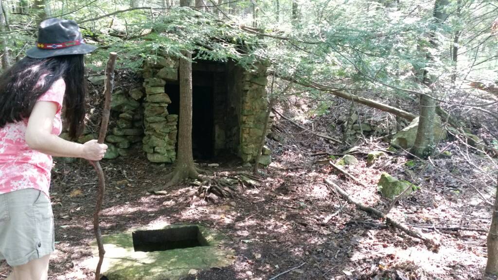
An old home stead with well and root cellar dated 1920 engraved in cement above cellar.
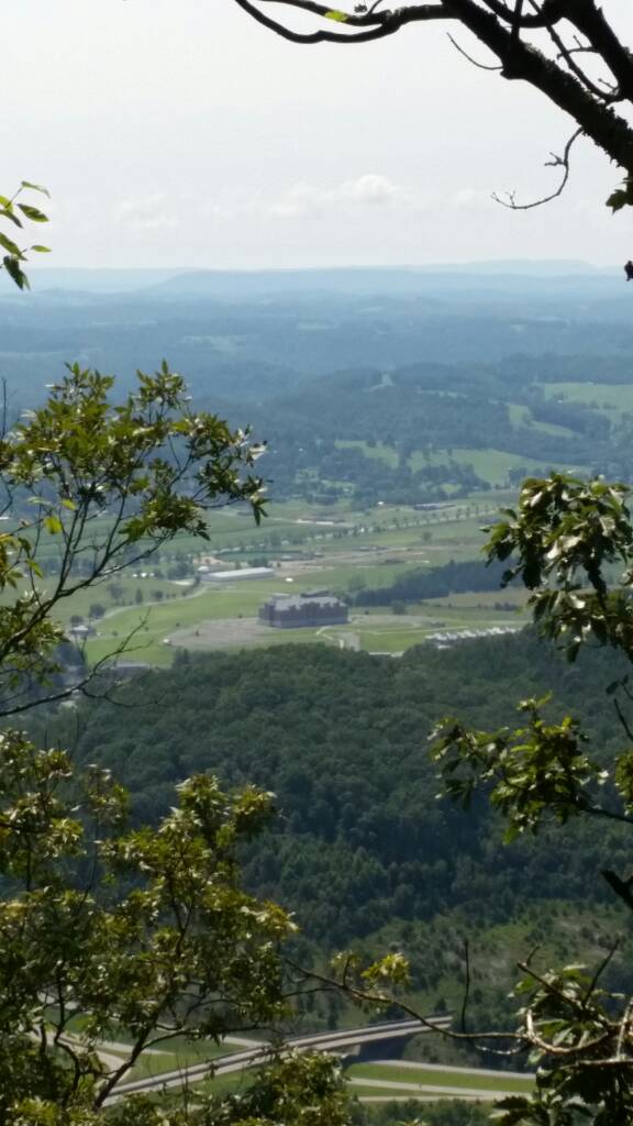
We made it. Looking down on Lincoln Memorial University.
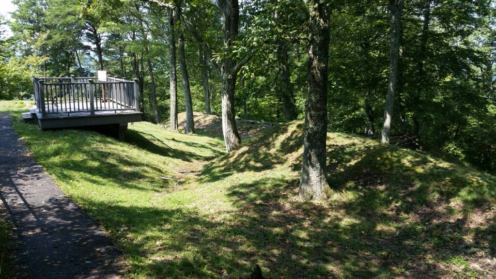
Site of Fort Lyon on top of the mountain.
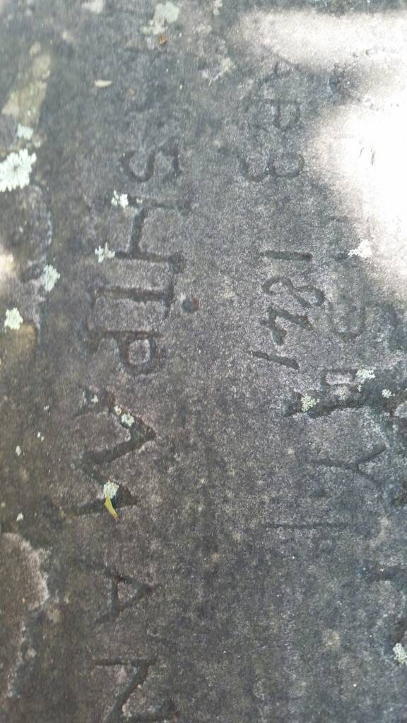
April 9 1861. If authentic along with other similar dates of that year plus company numbers. Maybe civil war soldiers carved in rock.
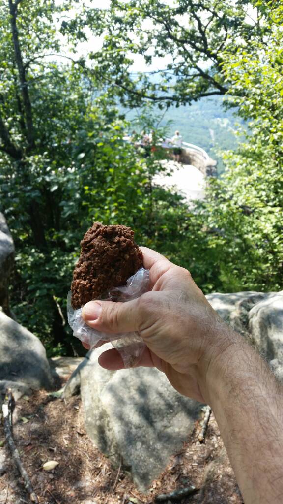
Time for a snack of chocolate novaks. I didn't tell her that there was a road up here to the top, so the cookies might have saved me from being pushed off a cliff. [emoji4]
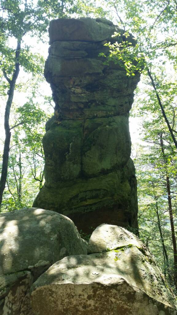
This rock tower was over 20 feet tall.

Another selfie. Do I look thinner from the last one?
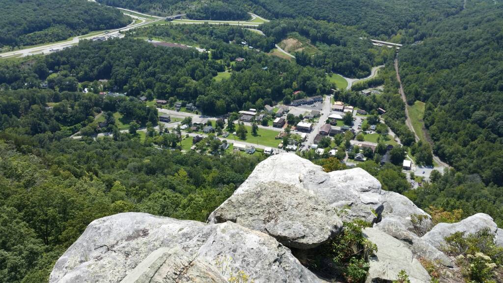
looking south above town of Cumberland Gap where we started from.
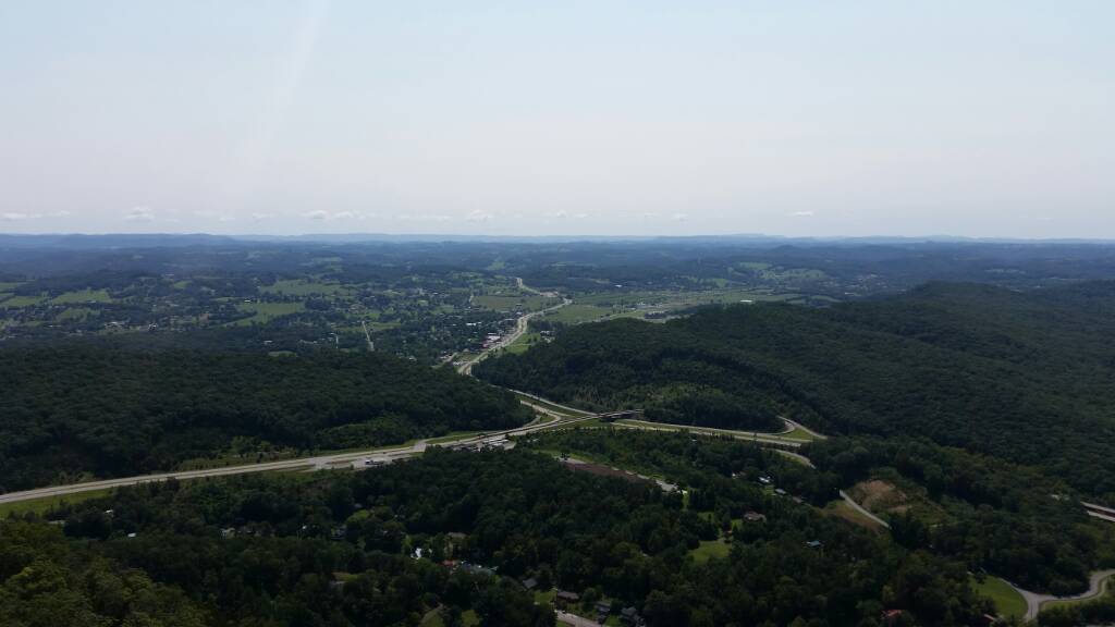
further south toward the Smokey mtns.
looking east sort of toward home.
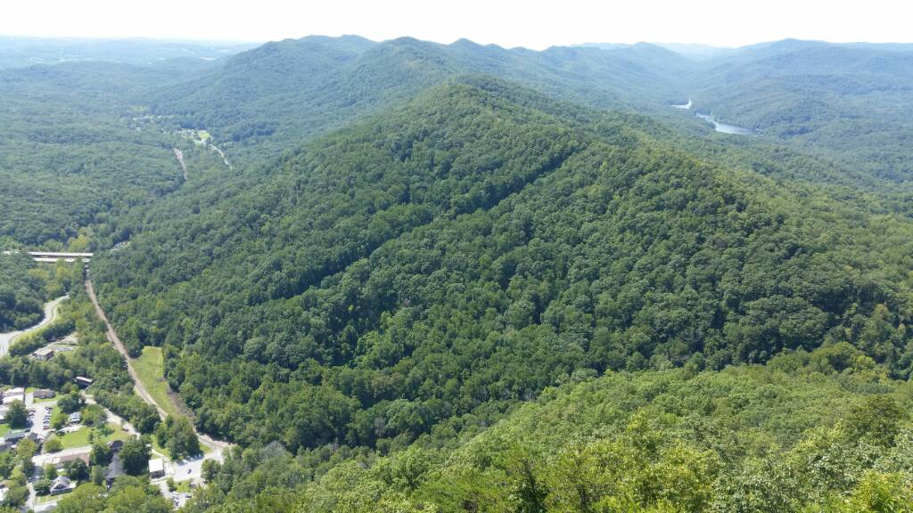
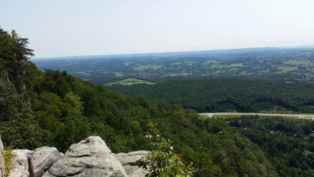
looking west. Fern lake upper right, far left middle of picture is new 25E where it enters tunnel at base of mountain.
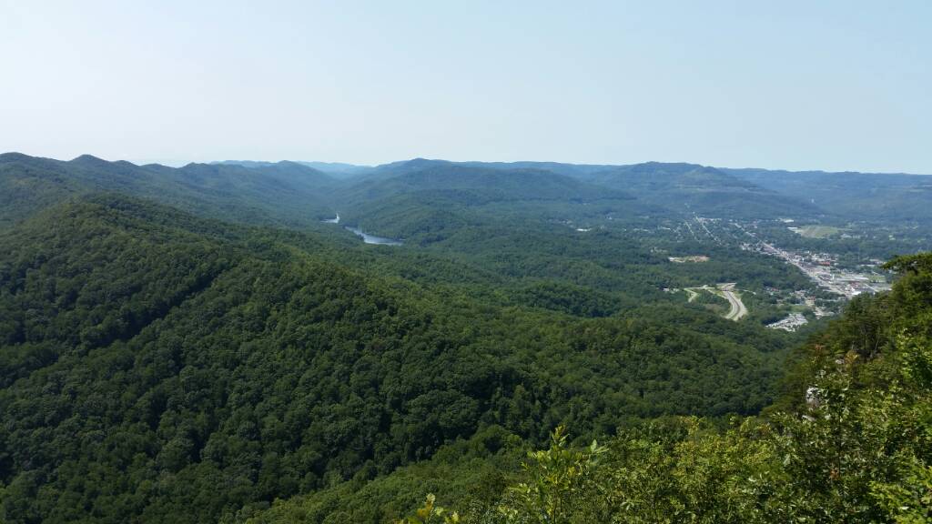
Middlesboro Kentucky far right where tunnel comes out, fern lake upper center.
We headed the 2 miles back down. I hope you enjoyed taking a hike with us in our little part of the world.
This was on the drive over Clinch mountain looking back on my home town lake as we headed north toward Cumberland Gap.
We started our hike through this covered entrance.
This was the old hwy 25E that inspired the movie Thunder Road about running moon shine north from east tn., and also the road I mentioned we used to drive to Tennessee on.
One of the locals.
Tri state monument Virginia, Tennessee and Kentucky borders.
The Gap by the monument.
The trail got more interesting.
Site of Fort McCook.
Not loaded, but cannon date 1861. I think it is original civil was cannon.
Wow I look fat.
Another mile to go.
An old home stead with well and root cellar dated 1920 engraved in cement above cellar.
We made it. Looking down on Lincoln Memorial University.
Site of Fort Lyon on top of the mountain.
April 9 1861. If authentic along with other similar dates of that year plus company numbers. Maybe civil war soldiers carved in rock.
Time for a snack of chocolate novaks. I didn't tell her that there was a road up here to the top, so the cookies might have saved me from being pushed off a cliff. [emoji4]
This rock tower was over 20 feet tall.
Another selfie. Do I look thinner from the last one?
looking south above town of Cumberland Gap where we started from.
further south toward the Smokey mtns.
looking east sort of toward home.
looking west. Fern lake upper right, far left middle of picture is new 25E where it enters tunnel at base of mountain.
Middlesboro Kentucky far right where tunnel comes out, fern lake upper center.
We headed the 2 miles back down. I hope you enjoyed taking a hike with us in our little part of the world.